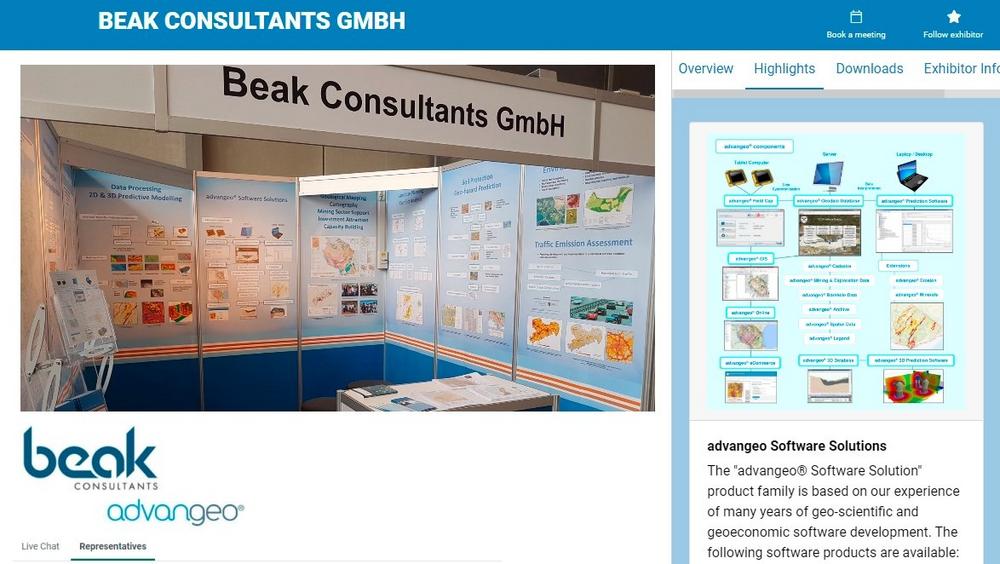
Beak presents at Virtual PDAC 2021

Breaking News:
Kathmandu Nepal
Mittwoch, Apr. 23, 2025

Visit us online at our booth virtual booth between 8th and 11th March 2021!
The MAP Wizard for advangeo® 2D Prediction has been developed by Beak since 2018 in an upscaling project, funded by EIT Raw Materials and led by the Geological Survey of Finland (GTK), called Mineral Resource Assessment Platform (MAP). The MAP Wizard tools have now been fully integrated by Beak into the advangeo® 2D Prediction Software providing an upgraded and enhanced platform for the three-part quantitative assessment method, developed by USGS, which is used to provide estimates of the location and amount of undiscovered mineral resources.
The developed method and software have been thoroughly tested with the Sn-skarn deposits of the Erzgebirge in Germany and the results are available now in the Skarn Assessment Report.
In the frame of the Horizon 2020 project NEXT – New EXploration Technologies, funded by EU through EASME and led by the Geological Survey of Finland (GTK), Beak has implemented the data integration and clustering algorithm of Self‐Organizing Maps (SOM) successfully as new algorithm into the existing advangeo® 2D Prediction software. The SOM algorithm has been combined with ANN (Artificial Neural Networks) in a joined approach. It has been tested with existing data from the Erzgebirge area in Germany and applied successfully in the frame of the project to the available and newly acquired data from the target areas in Rajapalot in Finland and Elvira in Spain. The final results will be made available later this year at the CORDIS web portal of EU and the project webpage. Preliminary results are available here.
The advangeo® Field Cap software is the ideal companion of any field geologist with a field tablet computer. The developed electronic field book software by Beak allows formatted capture of field data and supports data exchange and teamwork. Data can be uploaded, downloaded and shared. The currently available software covers geological mapping and outcrop description, geochemical sampling, hydrogeological sampling and monitoring, mapping of geotechnical risks and hazards, and mapping of mineral occurrences and deposits. The software is adjustable to individual needs. Analytical results can be imported. The customized GIS application makes field data and analytical data available for further processing and presentation in the context of complex geodata. A new data module for capturing and documenting artisanal and small-scale mining (ASM) activities is available now in the software.
For general information, please see www.beak.de. For software inquiries, exploration targeting support and consultancy services, please contact andreas.barth@beak.de.
Beak Consultants GmbH
Am St. Niclas Schacht 13
09599 Freiberg
Telefon: +49 (3731) 781350
Telefax: +49 (3731) 781352
http://www.beak.de
![]()